
Climate Resilience Roadmap
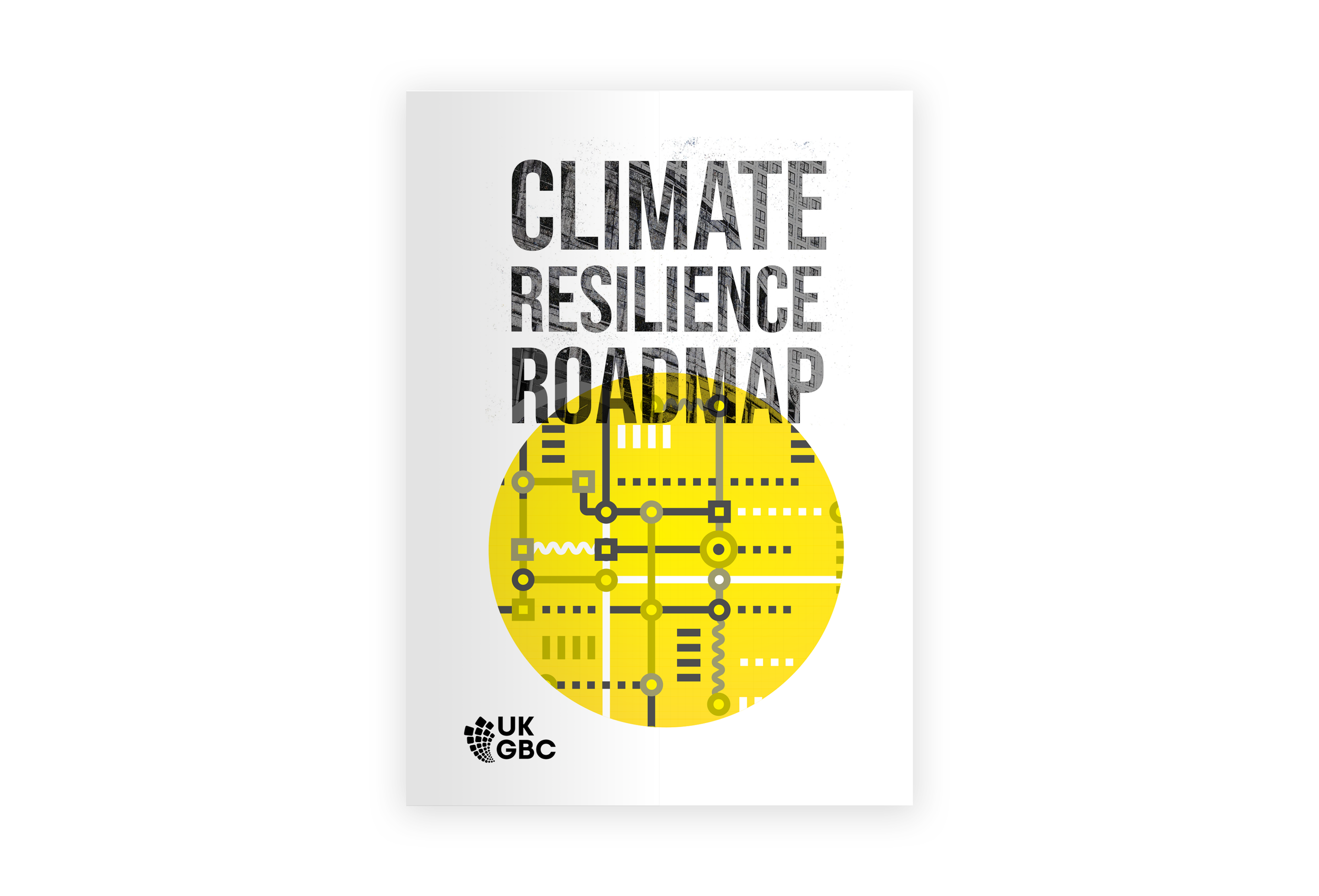
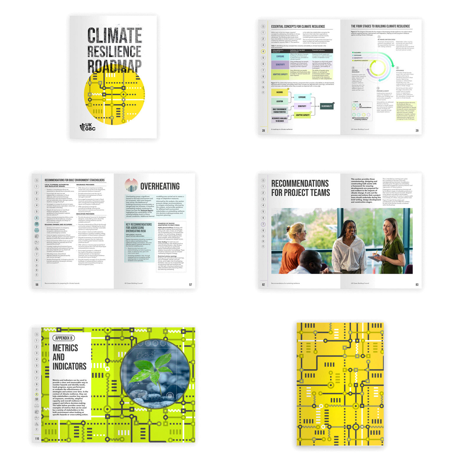
Report design and campaign branding

The project
The UK Climate Resilience Roadmap provides a practical, evidence-based framework for protecting the UK’s built environment from increasingly urgent climate hazards, including flooding, overheating, storms, drought and wildfires. Developed with industry leaders, policymakers and experts, it sets out a four-stage approach—awareness, anticipation, preparation and adaptation, and sustained resilience—supported by actionable recommendations, tools and metrics. The roadmap calls for coordinated action across policy, finance, planning, design, construction and building management to create safer, healthier and more resilient places for people, communities and nature.
The launch event
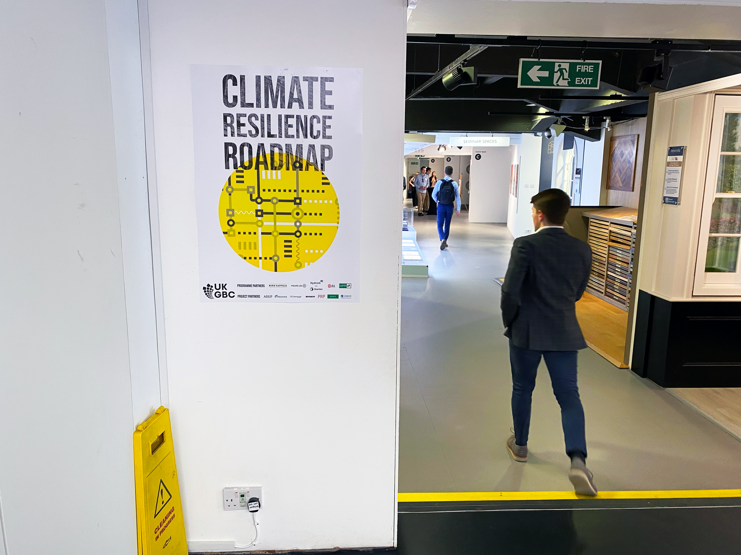
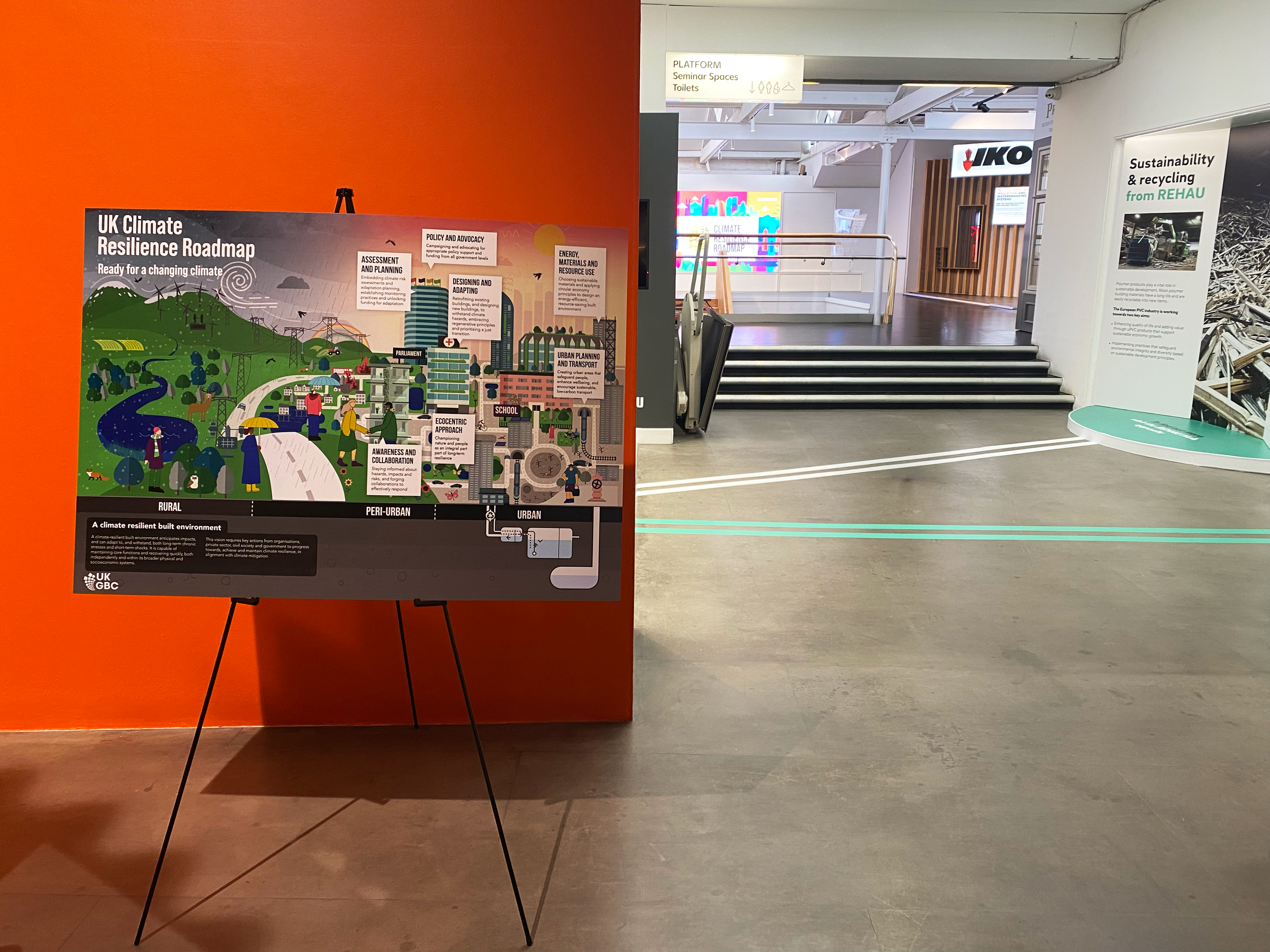
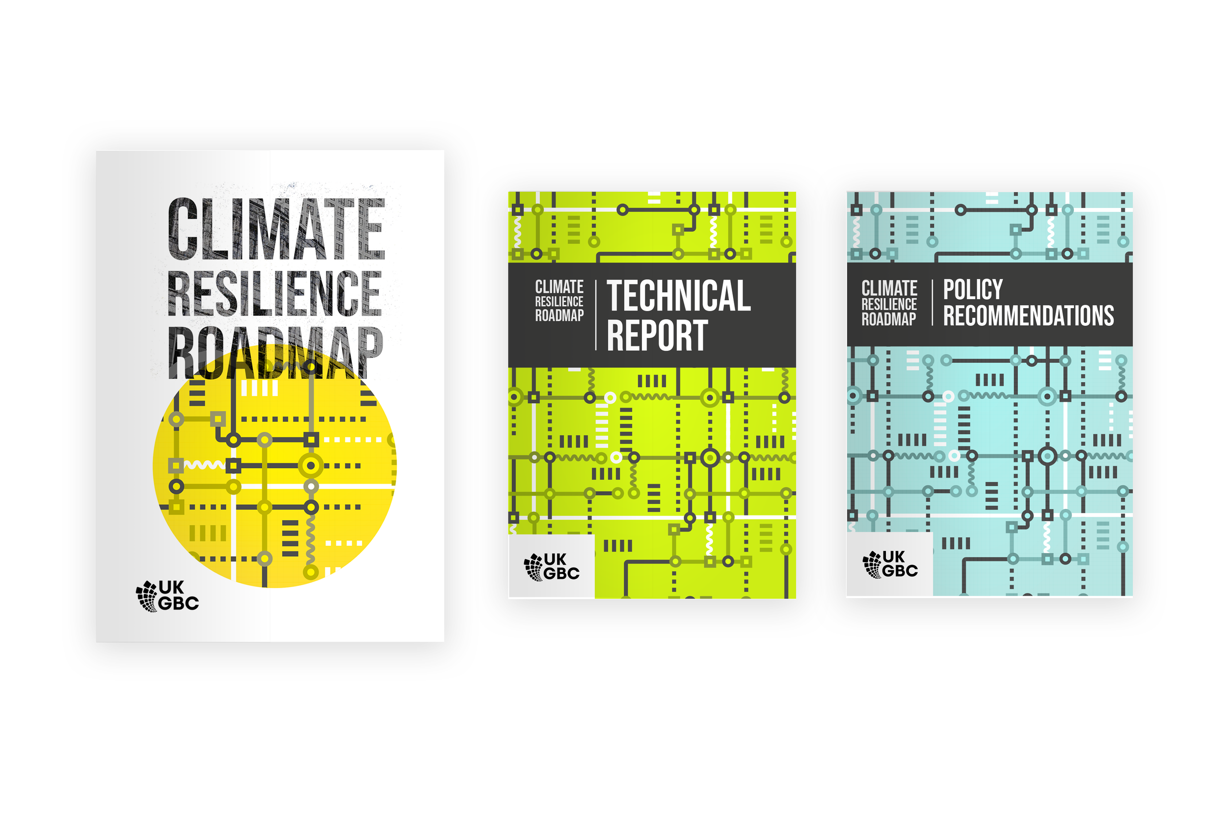
UKGBC launched the UK Climate Resilience Roadmap at London’s Building Centre, bringing together built-environment professionals, policymakers and climate leaders. Bold typography and a distinctive turquoise, black and yellow palette created a consistent identity across the roadmap, exhibition boards and supporting graphics. Maps, diagrams and modular panels made complex information more accessible, helping present climate resilience as an urgent, shared and actionable priority.
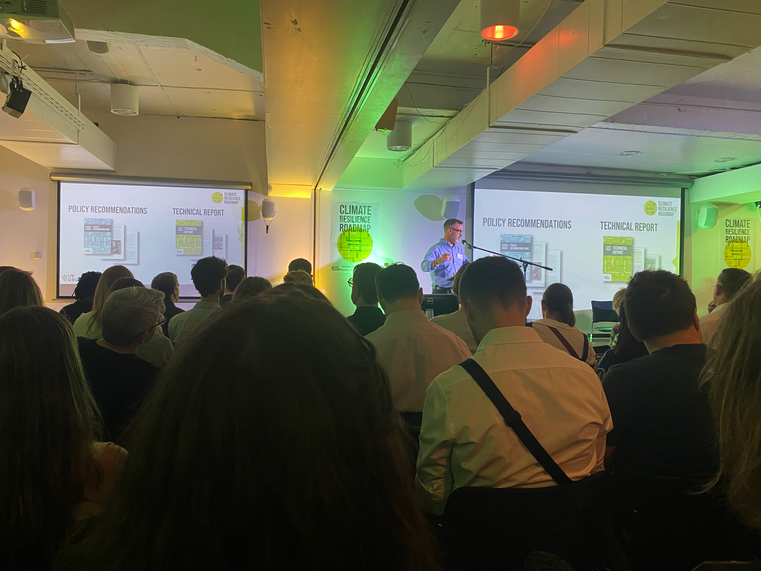
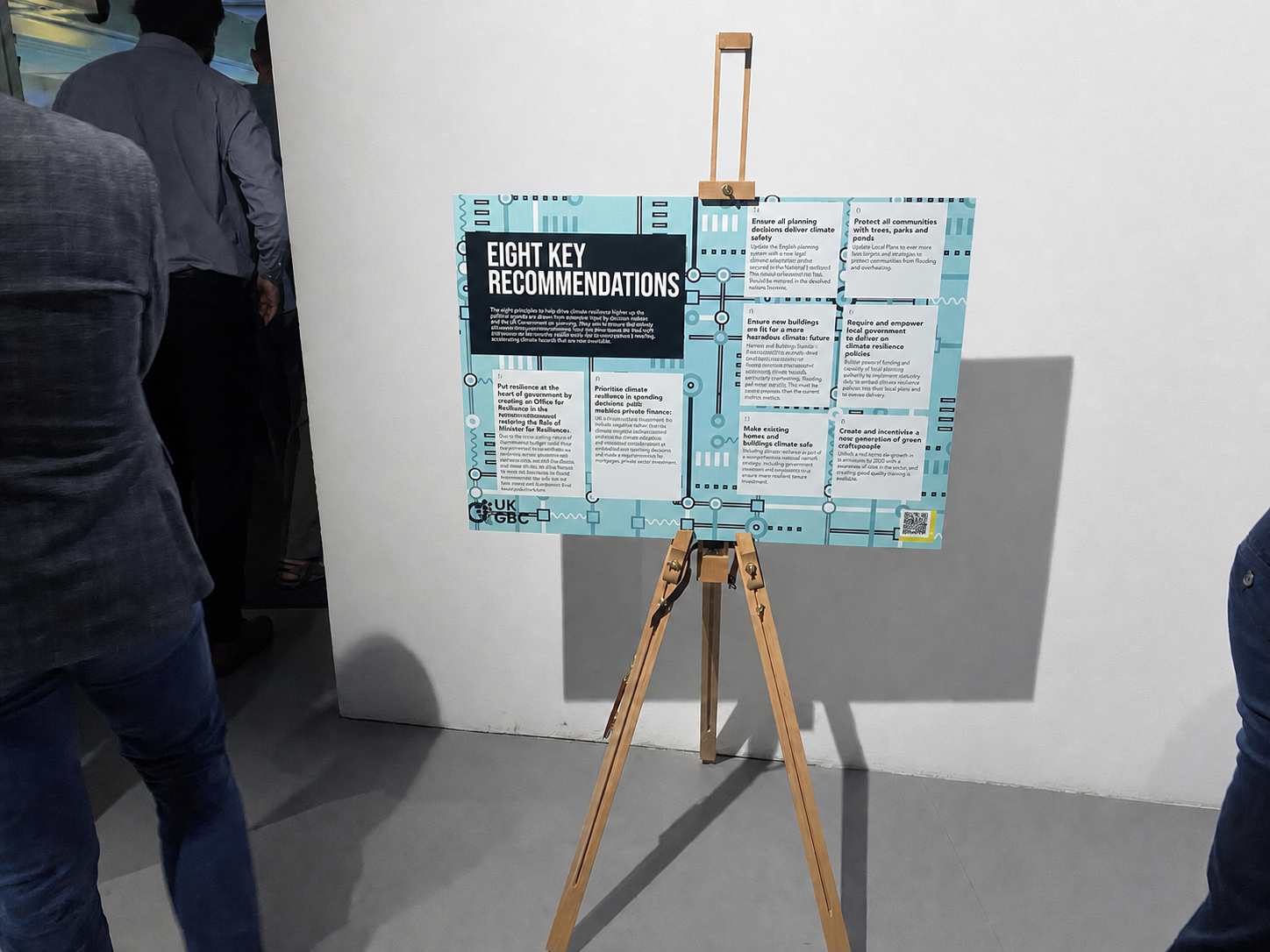
Report series launch
Key Infographics
A vision for a climate-resilient built environment
A panoramic illustration brings the roadmap’s vision to life, moving from rural through peri-urban to urban landscapes. Seven interconnected principles—from assessment and planning to collaboration, nature, materials and transport—are embedded within one continuous scene, turning a complex, system-wide strategy into an accessible and optimistic visual.

Flood risk around the UK
This flooding overview combines explanatory text, documentary photography and a map-led data graphic to communicate the scale of risk across all four UK nations. Bold figures and simple building icons create a clear hierarchy, helping readers move quickly from the causes and human impact of flooding to a concise comparison of current and future exposure.
This design was used for very risk factor, using a distinct icon to mark the start of the section.

Flooding systems map
A numbered, colour-coded systems map traces how flooding cascades through the built environment, affecting land, infrastructure, communities, businesses and health. Its clear key, consistent palette and structured flow make the roadmap’s central argument visible: climate hazards are interconnected, and their consequences cannot be addressed in isolation.
This diagrammatic map format was used for each hazard across multiple pages.

Climate resilience across the RIBA Plan of Work
This full-width matrix maps climate-resilience actions across all eight stages of the RIBA Plan of Work, from strategic definition to occupation and use. Repeating icons, colour-coded columns and aligned guidance transform dense technical content into a practical project journey, showing how resilience must continue through briefing, design, construction, handover and long-term operation.
This design format was used for each action and was designed to flow across multiple pages.

Manchester case study
The Manchester case study pairs a bold, colour-washed city image with a disciplined editorial layout balancing local hazard data, adaptation initiatives and stakeholder insight. This format was used for each case study within the section.
